🌍 Geomatics
Land Surveying, Mapping and Geodesy
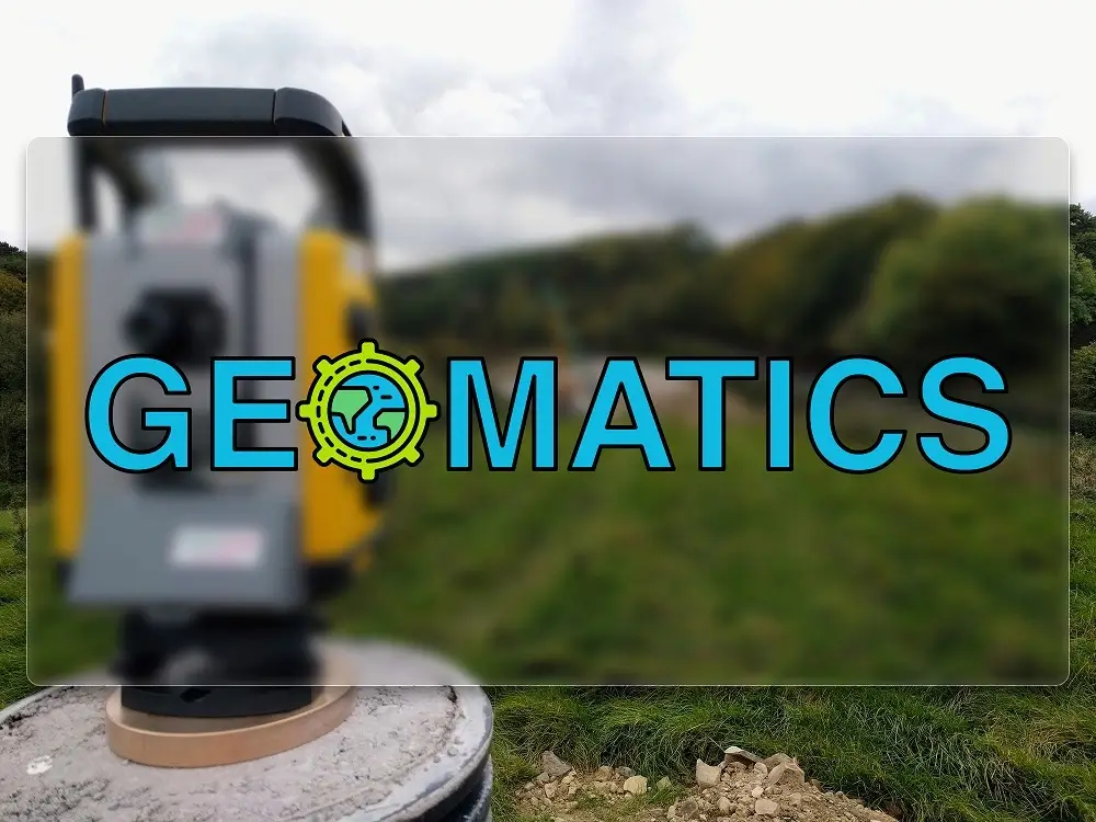
What is Geomatics?
Geomatics is a discipline that includes fields such as surveying, mapping, remote sensing, photogrammetry, hydrography, GNSS, GIS and more. Geomatics Engineers, also known as Engineering Surveyors, gather, analyze, and manage spatially-referenced data using various sensors on the ground, in the air, in the ocean, and in space. Land Surveying is a subfield of Geomatics, but the two terms are often used interchangeably.
Geomatics is important for many industries that require location information, such as cartography, disaster management, energy assessment, and noise and pollution monitoring. This discipline is constantly evolving and improving with technological advancements.